-40%
RAYMARINE E80 Classic MFD Display - Chartplotter, Radar Screen E02011 - PERFECT!
$ 350.61
- Description
- Size Guide
Description
RAYMARINE E80 Classic MFD Display - Chartplotter, Radar Screen E02011 - PERFECT!Works perfectly, fully tested with guarantee. LCD in perfect condition.
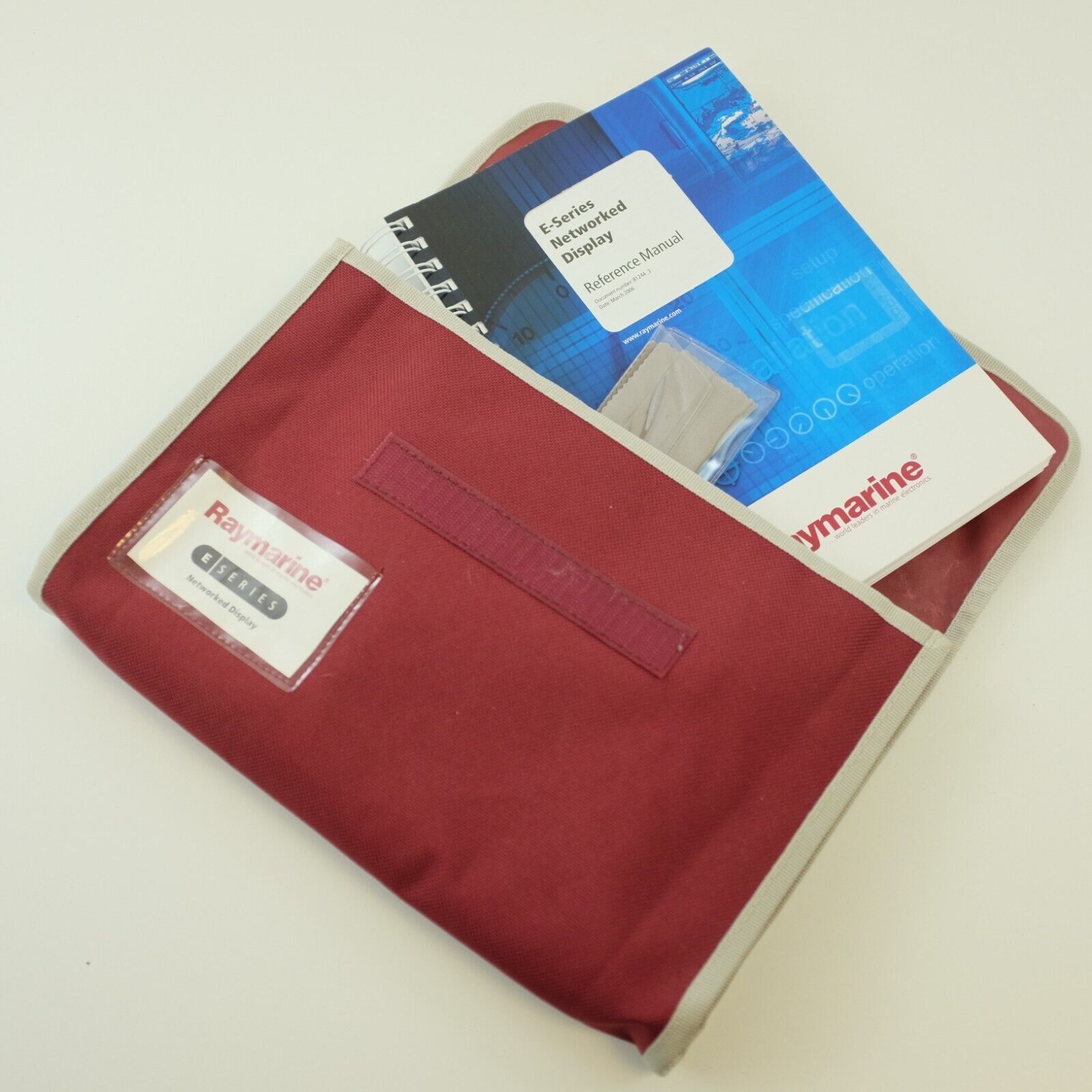
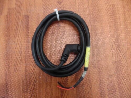
Including the Sun Cover, Power cable and Manuals. You will receive, what you can see on the photos.
****
The E80 - is the smaller brother to the E120 in the E Series Classic line introduced in 2005 sporting an 8.4" screen and resolution of 640 x 480 pixels. A bright and sharp screen with little or no darkening when viewing the screen from the side which is a must on bright days.
It's a pretty powerful high-speed network chartplotter that can include GPS, Sonar, Radar, Autopilot, Weather, AIS and even Video! You can connect everything to one unit running on its own or have several connected in the network sharing data.
A very flexible, fast multifunction unit, loaded with features. An excellent choice when you are looking for a midsize screen with networkability.
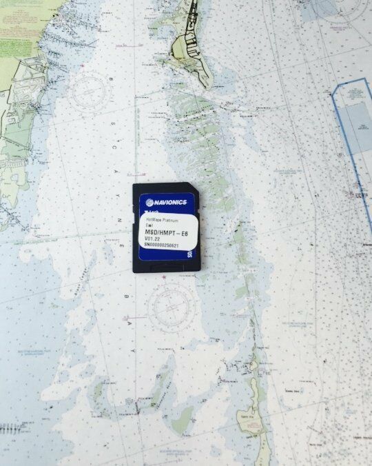
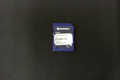
The Raymarine E80 Classic chartplotter communicates with other devices using NMEA 0183 & NMEA 2000 on the Raymarine SeaTalk network. The E80 can use Platinum Plus, Platinum, or Navionics Gold chart cartography. The front loading slide reader uses Compact Flash “CF” cards.
Raymarine E80 vs C80 - For the radar, chartplotter, and fish finder functions the two are the same. Main differences: The ultra brite TFT screen on the E Series shows much brighter, is networkable and can share black box components as well as radar among multiple displays.
The E Series will also do video, supports HD or Super HD color radar and can use Navionics Platinum or Platinum Plus charts which the C Series cant.
Waypoints / Routing / Tracks - Waypoints can be saved at your (present position) with one push of the WPTS key or you can use a soft key function to save at the - cursor, ship position, lat/long, or access the waypoint list. Waypoint lists can be set up in separate groups for quicker access based on user criteria.
The waypoint list includes the group name, lat/long, bearing/distance, a 16-character name, and a 32-character comment for each waypoint. This makes finding your favorite waypoints in a large list pretty easy to find and use.
It stores of up to 1250 waypoints, 125 routes & 10 Tracks. Plenty of waypoints and routes but 10 tracks can get used up pretty quick.
• Detailed Feature List •
Raymarine E80 Chartplotter – Display
1250 waypoints - entered via cursor, lat/lon, range and bearing from present position or at boat’s position. 16 character name can be assigned. Waypoint symbols and groups. Additional storage available on CompactFlash cards.
Waypoint – Transfer Waypoints database via NMEA and CompactFlash cards. Software also available to convert waypoints to Excel file.
Man Overboard – (MOB Mode) Mark placed with course line; readout shows range, bearing, lat/lon of MOB and time elapsed since MOB.
Screen functions – Full, half and quarter screens available dependant on function. Also 3 window page with 2 x 1/4 page windows and 1 x 1/2 page window.
Chart scaling – 1/32nm (if cartographic detail is available to 4000nm).
Presentation Modes – Head up, Course up or North up (selectable True or Mag-netic). Relative, Autorange or True Motion. Screen offset. Radar or 3D synchronization.
Routes – A route plan may contain up to 50 waypoints. Up to125 routes can be stored in the units internal memory. Additional storage available on CompactFlash cards. SmartRoute to create a route from track history. 10 History tracks with up to 1000 points in each can be stored in the units internal memory. Track optimization reduces number of points used or user selectable time or distance interval. Additional storage available on CompactFlash cards
Radar/Chart overlay – Radar image can be overlaid on all screen charts.
Radar/Chart synchronization – To synchronize radar range and chart scale
3D/Chart synchronization – To synchronize 3D and 2D chart scales and orientation.
Aerial overlay – Overlay of aerial photograph on the chart
AIS overlay – Switch AIS symbols on/off. Display heading/speed vectors and ROT. View detailed AIS data, safety critical target data, ALR and SRM messages. Set up a safe zone.
Navigation information – Own boats position in lat/lon, XTE, TTG and SOG/COG selectable. Bearing and distance to waypoint. Bearing and distance to cursor and ETA.
Cartography – Navionics Charts on CompactFlash cards. Chart of the world built in.
3D Presentation Modes – Active motion mode, planning mode, Adjust rotation and pitch, port, starboard, forward and aft view, multiple views, Vessel offset.
3D Display – Declutter
Raymarine Fishfinder
Optional Sounder Modules – DSM300 / DSM30 / DSM400
Transducer – Transom-mount, in-hull or thru-hull options – 50/200HZ -600/1000 watt
Receiver Type – Patented Raymarine HD Digital receiver technology
Power output – Dependant on Digital Sounder Module
Frequency Dependant on Digital Sounder Module
Alarms – Fish alarm, fish alarm depth, shallow and deep fish limit
A-Scope Display – Displays Sonar Returns in real time
Bottom Coverage Display – Shows the diameter of the transducer beam where it meets the bottom.
Bottom Lock – Displays echoes directly above the bottom.
Range markers Easily see how far the boat is from a target on the echo sounder screen.
Target Detection – Sonar fish echo with target depth readout
Zoom – 2,3,4x and user programmable Zoom scales
Sounder Module Notes:
Raymarine strongly recommends that DSM30s, DSM300s, and DSM300Gs which have been interfaced to SeaTalkhs MFDs (ex. E-Series Classic MFDs, E-Series Widescreen MFDs, C-Series Widescreen MFDs, and G-Series GPMs) be upgraded to v4.20 DSM30/300 software with v5.18 bootcode.
General
Raymarine E80 Chartplotter Data Display Capabilities – Chartplotter, Fishfinder, Radar, External Video (x4), CDI(Course Deviation Indicator), and customizable Data Bar display)
Mounting – Either trunnion bracket or flush mount option
Humidity limit up to 95% at 35°C non-condensing
Display Windows – Chart, Radar, Fishfinder, CDI, Video, Data, Weather and Engine Monitor.
Illumination – Screen and keypad: 0 to 100% in 64 steps Day/Night Mode
Languages – The selection available will vary according to your location.
System Alarms – Alarm clock, Anchor, Arrival, Deep depth, MOB, Offtrack, Shallow depth, Temperature, Timer
Navigation Alarms – Arrival alarm, offtrack XTE alarm.
Instrument and Engine Data
Data Pages – 5 pages available. Pre-defined (Navigation, Waypoint, Route, Fishing or Sailing) or user-configured.
Data available – Vessel position, active waypoint, TTG, VMG – Waypoint, depth, COG SOG, heading, speed, set/drift, trip, log, ground log, ground trip, rudder, local time and date, sea temperature, app wind, true wind, VMG wind, ground wind XTE,compass,locked heading, way
Engine Pages – 5 pages available. Pre-defined (engine, engine and fuel, fuel resources, engine and resources, twin engines or triple engine support) or user-configured.
Engine Data available – Tachometer, boost pressure, alternator, oil pressure, coolant temperature, engine hours, fuel level (tanks 1 & 2), fuel rate, total fuel, load.
Raymarine E80 Engine-Data
NAVTEX
Alerts – Incoming message (selectable categories)
Message List Sorting
Raymarine E80 Radar
Radome Or Open Array – Choose between 2-4kw Radome / 4-10kw Open Array
Compatability – The E 80 can use all Raymarine radar scanners made after 5/2003 including the newer digital scanners (excluding HD) , however the open array scanners may require an additional power source.
Range Scales – (Range Rings) 1/8 (1/16)nm to 72 (12) nm dependant on scanner Performance limited by scanner type and position.
Range Ring Accuracy – Better than +/- 1.5% of the max. range scale in use, or 22m (72 ft.), whichever is the greatest.
Bearing accuracy +/- 1°
Variable Range Markers – 2 x VRM’s, readout nm, sm, km
Electronic Bearing Lines – 2 x EBL’s, floating if required, resolution 1°
Bearing scale – 360° graduated at 10° intervals 2° small ticks 10° large ticks
Minimum range – 23m (25 yds)
Range Discrimination – 23m (25 yds)
Presentation Modes – Head up, Course up or North up


