-40%
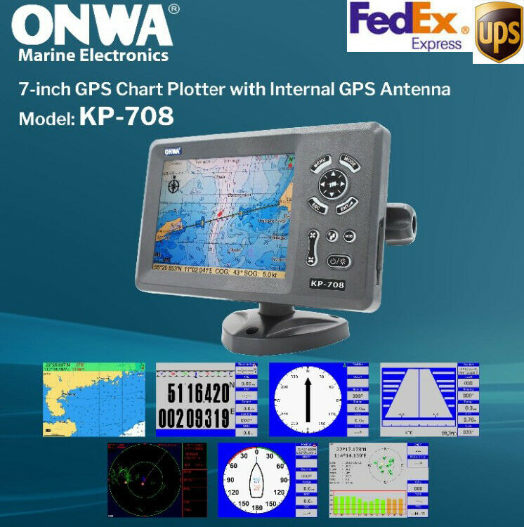
ONWA 7" Inch Color LCD Marine GPS Chart Plotter KP-708
$ 231.79
- Description
- Size Guide
Description
Model: KP -7087-inch LCD GPS Chart Plotter with Internal GPS Antenna
Features:
Easy to Operate
7-inch high resolution (800x600 pixels ) LCD
Built -in GPS Antenna , External Antenna can be used as an option
Supports Dual Mapping System : K-Chart and C-Map
Plotter characteristic
Waypoint/icons: 12000 user waypoints with name, symbol
3 system waypoints: MOB, Start, Cursor
10 proximity waypoints
Routes: Max 30 routes. And up to 170 points for each one
Tracks: 8000 points automatic track log:
10 saved tracks (up to 8000 track points each)
Let you retrace your path in both directions
Alarms: XTE, Anchor drag, arrival speed, voltage, proximity waypoint and time, AIS alarm.
Palette: Normal
Daylight exposed to sunlight
Night in dark environment
NOAA paperchart colors
Tides: Tide data
Projection: Mercator projection
Position format: Degree of minutes and UTM
Base map: Built -in ONWA K -Chart
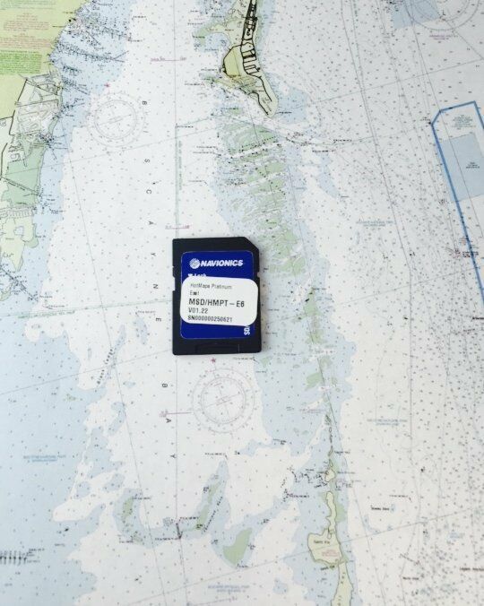
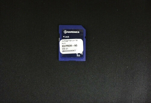
External Map: SD Cards slot for C -Map MAX and ONWA K -Chart
User data storage: Internal backup of user settings or external SD -card
Plot interval: 5s to 60min 0.01nm to 10nm Automatic way
Plotting scales: 0.001nm to 1000nm
Nav Data: Inputs:
$--GGA. $--GLL. $--GSA. $--GSV
$RMC, $-VTG, $-ZDA. $--VWR
$~VWT. $~MWD. $--VPW
Outputs:
GGA, GLL, RMC, AAM, APA.
APB, BOD, BWC, BWR, DBT
DPT,
HDT, MTW, RMBTLL,
VTG, WPL, XTE,
ZDA, ZTG,
ZDL, MWD, VPW, VWR, VWT,
Outputs for autopilot:
$--APB, $--BOD, $--XTE, $--APA
Perspective View: Onto/Off
Celestial: Sunrise/Sunset Moonrise/Moonset
Power supply
: 10.5 to 35V DC, current drain<1.0A at 12V
PHYSICAL
Size: 243mm (H )X155mm (W )X82mm (D )
Weight: 0 .6 KG
Display: 7 -inches Color TFT day -view LCD
800x600 pixels
Input & Output Port : one opto-isolated input Port
one RS232 Output Port
Waterproofing: Display unit: IPX5
Temperature range : Display Unit : -15℃ to 55℃
Antenna unit : -25℃ to 70℃
GPS Receiver characteristics
Receiver
50 parallel channel GPS receiver
continuously tracks and uses up to 50 satellites to compute and update your position
Acquisition time
Cold start: 60 seconds average
Hot start
45 second average
Update rate
1 /second, continuous
Position
2 .5 meters (95 %) without S /A
Velocity
0 .1 meter /sec without S /A
Time
100ns synchronized to GPS time
Dynamics
Altitude: 50 ,000m Max
Velocity
500 m/s
Acceleration
4g Max
Datum
WGS 84 and user define
Equipment list Standard:
1. Display unit
2. Operator manual
3. Installation materials and standard spare parts
Shipping:
Your item will be shipped within two business days of receiving your cleared payment. We use DHL or UPS based on your address with tracking NO.
Return and Claims:
We accept "buyer's remorse" returns of items if the factory seal has not been broken and the item has not been installed. We will refund 90% of the auction bid on those items and you will pay return shipping and insurance. Please contact us for instructions within 5 days of receipt.
In the unlikely event that we have shipped the wrong item, we will refund your entire purchase and shipping in both directions. Please contact us immediately for instructions.
We will process all damage claims with the carrier and may request that you return the item. Please retain original shipping containers and notify us immediately if you suspect damage in shipment.
Damage can occur due to careless handling of sensitive electronics; and for that reason, we can not accept the return of items where the factory seal is broken or the item has been installed.
About Us:
We are here to assist you if you have any questions about a product. We have been selling on eBay for several years and pride ourselves in our customer service and satisfaction. Please review or feedback to see what others say about us.
