-40%
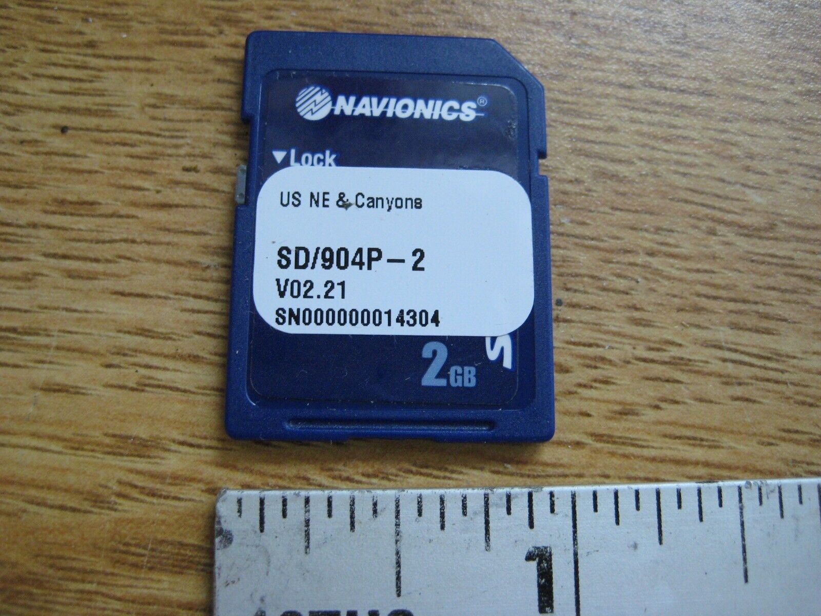
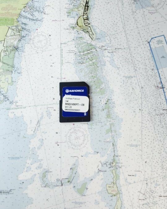
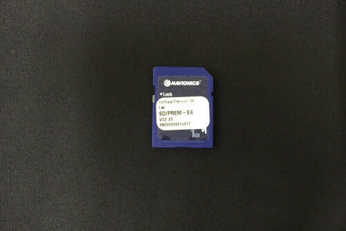
Navionics SD/904P Platinum US NE & Canyons SD Chart Card for Lowrance HDS
$ 29.04
- Description
- Size Guide
Description
Navionics SD/904P Platinum US NE & Canyons SD Chart Card for Lowrance HDS DisplaysCoverage includes:
MAINE, MASSACHUSETTS, NEW YORK, HUDSON RIVER, NORTH ATLANTIC CANYONS From Passamaquoddy Bay and Grand Manan Island to Shark River Inlet, including Hudson River to New York State Barge Canal to Lake Ontario, Oneida Lake, The Finger Lakes, Lake Champlain and bathymetric details of all North Atlantic Canyons from Delaware Bay offshore to Georges Bank and East to 64°: West.
Platinum+ 904P - Northeast and Canyons - SD™ Card
Marine charts
One foot contours inshore and nearshore
3’ and 6’ contours offshore beyond 90’
Head out with confidence! All the same marine content and advanced features found in Navionics+ are augmented with 3D View, satellite overlay and panoramic photos to provide the ultimate situational awareness. Designed with the most demanding boaters and serious anglers in mind, these additional viewing options can be used on a growing number of GPS plotters. Quickly target the best spots and catch more fish!
Preloaded with Nautical Chart
Included tides & currents, safety depth contours, navaids, coastal points of interest, and port services information.
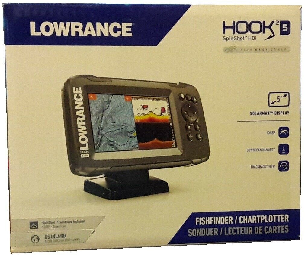
Good condition with data present. This SD card is compatible with Lowrance HDS series displays which accept the full sized SD card. This is Not a Micro SD card.
Returns are not accepted.
Shipping by USPS Economy.
Shipping to eBay verified addresses only.
