-40%
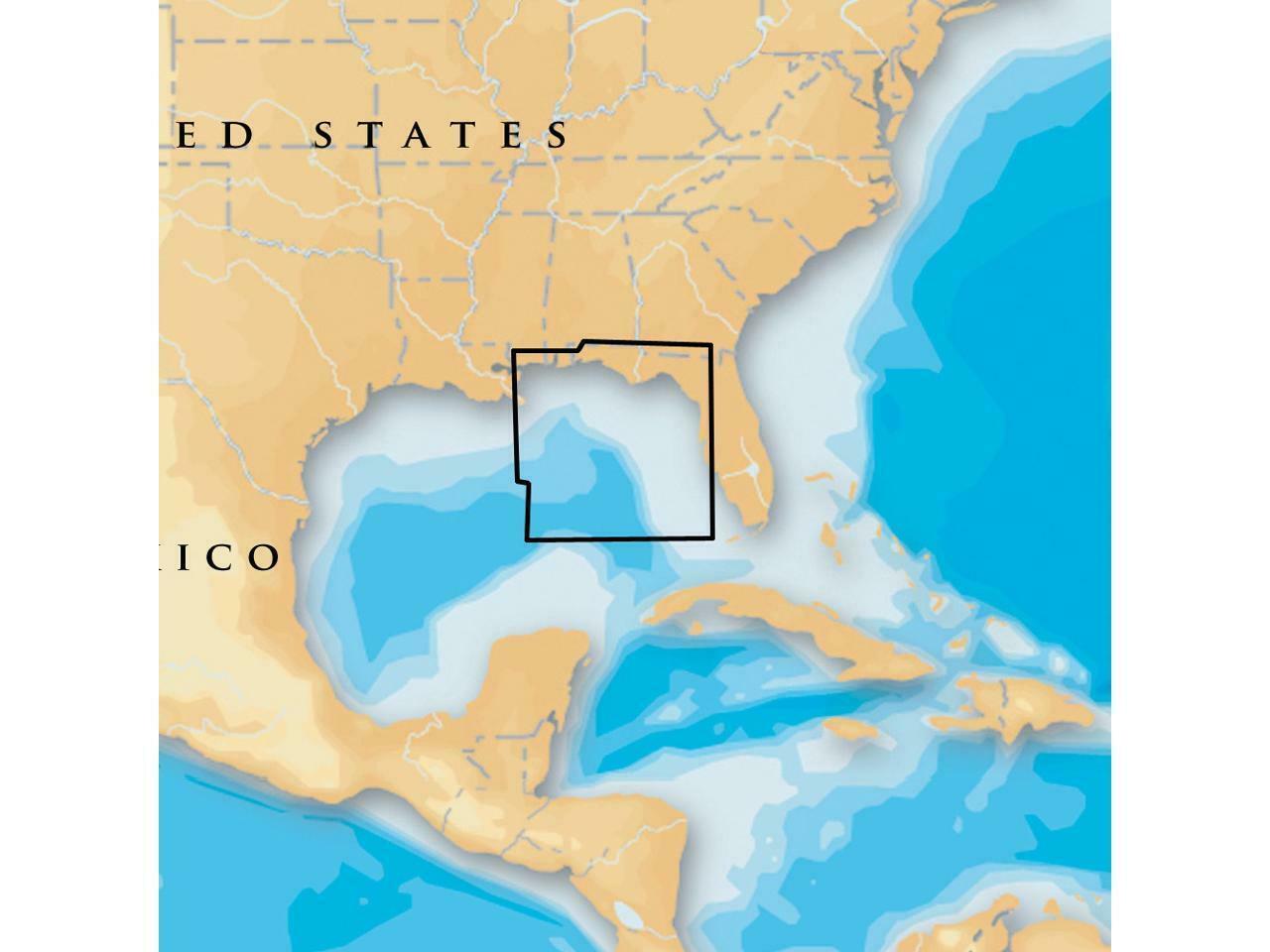
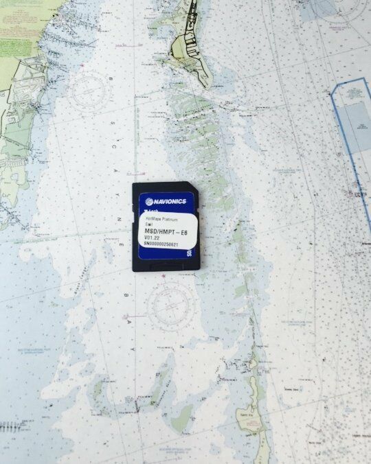
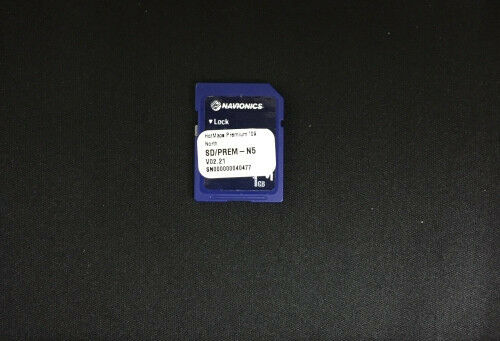
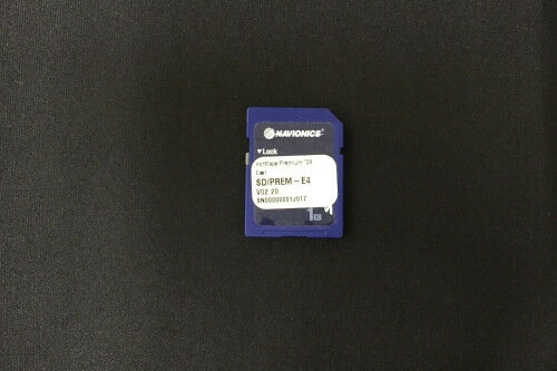
Navionics Msd/630P+ Platinum+ East Gulf Of Mexico Microsd/Sd
$ 95.37
- Description
- Size Guide
Description
Navionics Platinum+ Charts on SD/Micro-SD CardsNow with SonarChart Shading
Navionics Award-winning Platinum+ Charts, the most advanced multi-dimensional marine charts available, offer navigators a selection of bonus information beyond the best available navigation charts such as panoramic pictures, 3D/2D views w/satellite imagery, complete coast pilot guide, POI, high-definition fishing detail, and more.
Navionics has amassed the most comprehensive mapping database of its kind with more than 25,000 charts and port plans. Platinum+ plug-and-play cartography is an indispensable component of the industry's leading chartplotter manufacturers including Humminbird, Lowrance, Northstar, Raymarine and Simrad. Visit navionics.com for complete compatibility and coverage information.
SonarChart Shading, created from the high-definition contour data within SonarChart, presents a detailed rendering of the seafloor and lake bottoms in varying shades of blue. As coverage areas are released, customers who own a Platinum+ or HotMaps Platinum chart with an active subscription will be able to download the combined satellite overlay and SonarChart Shading layer for their region via the Chart Installer.
Features
New SonarChart Shading
Paper Chart appearance for the clearest charts and best detail
Full seamless presentation with IC (Intelligent Clarity) Technology
User-selectable safety depth contours
Navaids with XPLAIN navaid description feature
Port services with telephone numbers (where available) including fuel, transient berths, repairs, and more
Tides & Currents
High-resolution satellite photo overlay
3-Dimensional View
Panoramic port pictures
Coastal points-of-interest
High-definition fishing detail for US waters
In the Box
Electronic Chart on Micro-SD card w/ adapter
Product Support
Navionics is based in Viareggio, Italy, and operates sales and manufacturing facilities in seven countries conducting research & development, operations, production, sales & marketing and distribution. For 24 years, Navionics has developed and manufactured electronic navigation charts and systems for marine, inland lakes& rivers and outdoors use. In 1984, Navionics established itself as the pioneer in electronic charting, introduced the first electronic charts to the world, and opened a new era of navigation. Navionics quickly established an early lead in electronic cartography followed by a series of technological innovations, and continues to be a leader in quality, coverage and value.
