-40%
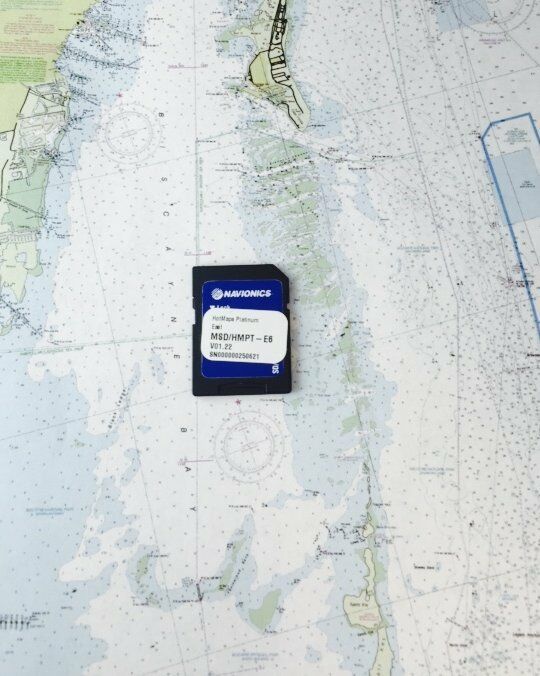
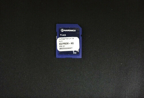
Navionics HotMaps Platinum West MSD/HMPT-W6 Multi-Dimensional Lake Maps SD Card
$ 44.88
- Description
- Size Guide
Description
MSD/HMPT-W6Platinum Card with
3D/2D views and
HD contours.
Tested and works with Raymarine, Lowrance and Hummingbird Plotters that accepts Navionics SD and MicroSD Cards.
Max detailed charts for cruising, fishing and sailing, plus 3D View, satellite overlay and panoramic photos all in one!
Coverage area includes
AK, AZ, CA, CO, ID, IA, MN, MT, NE, NV, NM, ND, OR, SD, UT, WA, WY
HotMaps Platinum provides the most content so you can take full advantage of your chartplotters functionality.
Dynamic 3D View allows you to customize exaggeration of key features and adjust pitch to highlight subtle depth changes or better visualize your approach through shallow or narrow channels.
Available on the most popular lakes, satellite overlay imagery is extremely helpful for improving situational awareness and can help you find hidden features such as backwater channels that might hold fish.
Panoramic photos let you head into new marinas and recognize boat ramps with the confidence of a local, with a clear view of entrances, dock layouts, and more.
View detailed shorelines with marinas, docks and boat ramp locations. Increase your awareness of shallow waters and hazardous areas at any depth level including shoals, rocks, wrecks and more.
Fish smarter with up to 1 foot HD contours, you’ll find the best fishing spots: roadbeds, foundations, bridges, brush piles, culverts and creek channels.
Fresh Water Updates Expired.
Excellent condition.

