-40%
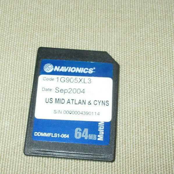
Navionics CF/904P US Northeast & Canyons CF Platinum Chart Card Raymarine E120
$ 29.04
- Description
- Size Guide
Description
Navionics CF/904P US Northeast & Canyons CF Platinum Chart Card for Raymarine E120CF Compact Flash Chart Card for Raymarine
E Classic and Wide series
-This is a Compact Flash, not SD Card-
The Navionics
CF/904P
Platinum Chart Covers:
MAINE, MASSACHUSETTS, NEW YORK, HUDSON RIVER
NORTH ATLANTIC CANYONS From Passamaquoddy Bay and Grand Manan Island to Shark River Inlet, including Hudson River to New York State Barge Canal to Lake Ontario Oneida Lake
The Finger Lakes, Lake Champlain, and bathymetric details of all North Atlantic Canyons from Delaware Bay offshore to Georges Bank and East to 64° West.
Navionics Platinum Multi-Dimensional Charts for Serious Fishing & Cruising
XL3-Size Coverage
The Best Detail
3D View, Satellite Photo Overlay, Panoramic Pictures, Port Services & Points-of-Interest
Dynamic Tides & Currents
Coast Pilot Books
The Easiest To Use Plug-and-Play cartridge is ready to use, no CDs downloads or unlock codes required.
Compatible Units: Raymarine Classic E Series, Northstar 6100i
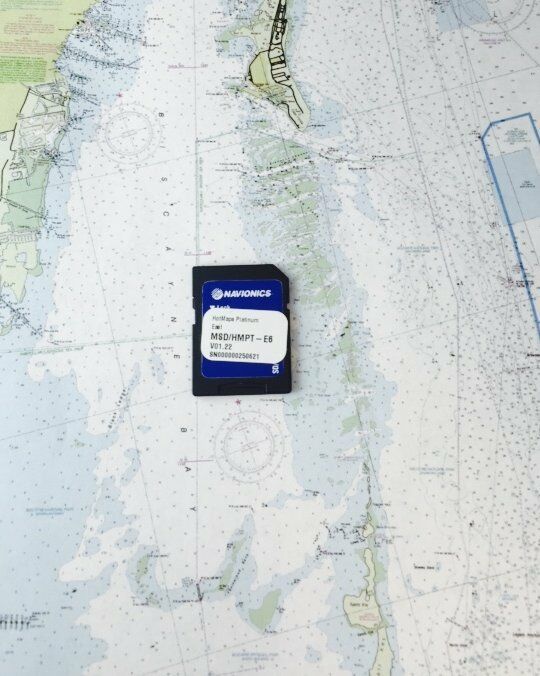
Coverage as in photo with map outline.
Good condition with data present. Coverage Outline as in photos (no Display included with sale).
2GB CF cards are only compatible with Raymarine E80 and E120 Classic series displays with software updated to version 5.16 and above.
Also compatible with Raymarine C90W, C120W E140W E90W E120W E140W Wide series displays.
Card has 2GB Data Capacity.
Returns are not accepted.
Shipping by USPS Economy.
Shipping to eBay verified addresses only.


