-40%
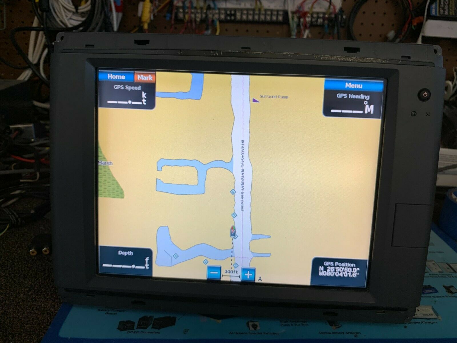
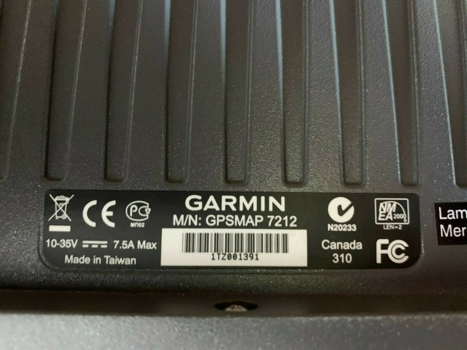
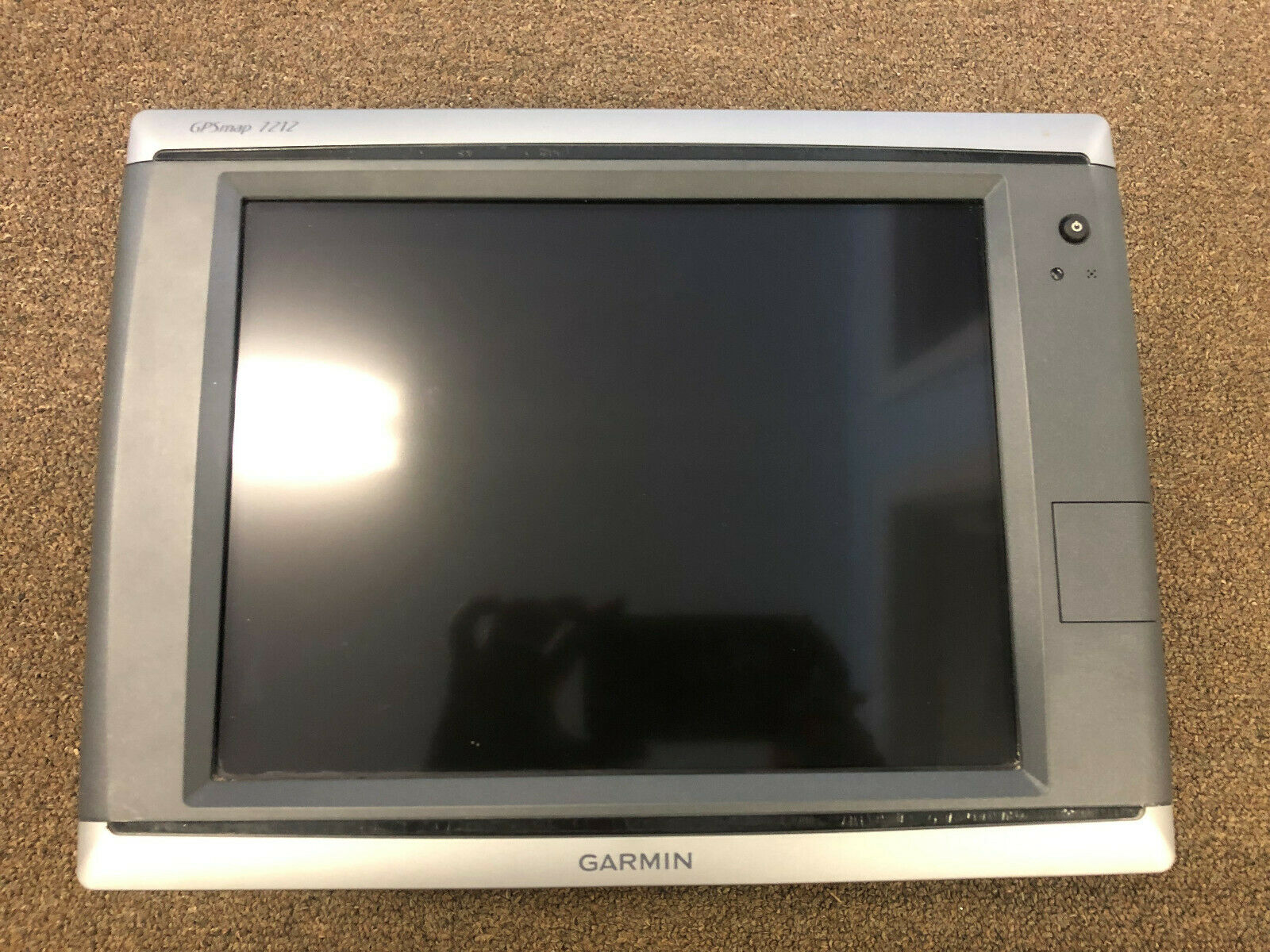
Garmin GPSMap 7212 Chartplotter MFD (PN: 010-00749-01)
$ 583.43
- Description
- Size Guide
Description
(SN: 1TZ001391)Product only contains display and trim rings.
12.1" diagonal, color XGA sunlight readable, high-brightness, touchscreen display (1024 x 768) GPSMAP 7015 and 7215: 15-inch diagonal, color XGA sunlight readable, high-brightness, touchscreen display (1024 x 768)
features built-in marine charts for the coastal United States - including Alaska, Hawaii and Explorer Charts of the Bahamas; this data provides detailed coastlines, shaded depth contours, navaids, port plans, wrecks, restricted areas and tide and current information
Single SD memory card slot for BlueChart g2 and BlueChart g2 Vision cards, and to save waypoints, routes and tracks to be shared with others
Built in ports: three networks ports, one NMEA 2000 port, one NMEA 0183 port (blue), one power port (red), 7012 and 7212 have one video port (yellow) and the 7015 and 7215 have two video ports (yellow and purple)
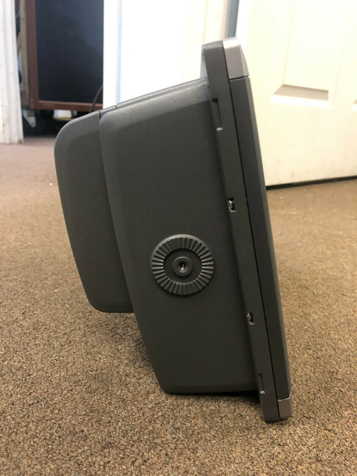
7212 dimensions: 13.3"W x 9.9"H x 5.8"D
Waterproof: IPX7 - Submersible
